


17,8 km | 38 km-effort


Usuario


Aplicación GPS de excursión GRATIS
 SityTrail
IGN / Institutos geográficos
SityTrail World
El mundo es suyo
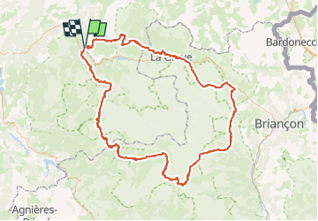
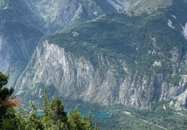
Ruta Senderismo de 177 km a descubrir en Auvergne-Rhône-Alpes, Isère, Le Bourg-d'Oisans. Esta ruta ha sido propuesta por benpiquard.
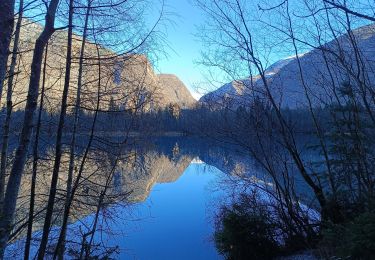
Le GR54 est un sentier de grande randonnée de grande difficulté qui chemine sur le tour de l'Oisan et des Ecrins au cœur du Parc national des Écrins dans les Alpes. C'est l'un des plus montagnard des GR de France et un des plus technique avec le GR20.
Retrouvez toutes les informations utiles pour effectuer cette randonnée montagnarde : les hébergements, les étapes et l'itinéraire dans le topoguide dédié à cette randonnée [url]https://www.nature-randonnee.fr/Topo-guide-Tour-Oisans-Ecrins.php[/url]
Esquí de fondo
Esquí de fondo

Senderismo

Esquí de fondo
Esquí de fondo
Senderismo
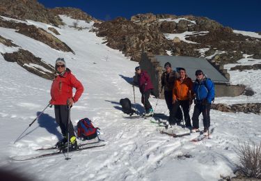
Esquí de fondo
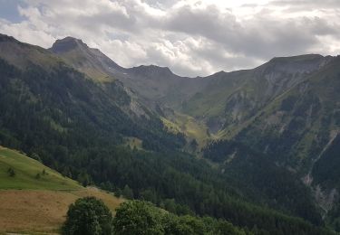
Senderismo
Senderismo